As cities worldwide face intensifying challenges brought on by rapid urbanisation, climate change and population growth, the imperative to build more sustainable, resilient and inclusive urban environments has never been greater. This global urgency forces us to confront two central questions.
How do we build the city of tomorrow, and how do we do it today?
In response, TSPA has developed City Scan, a parametric planning tool that reimagines how urban development is conceived, evaluated and implemented.
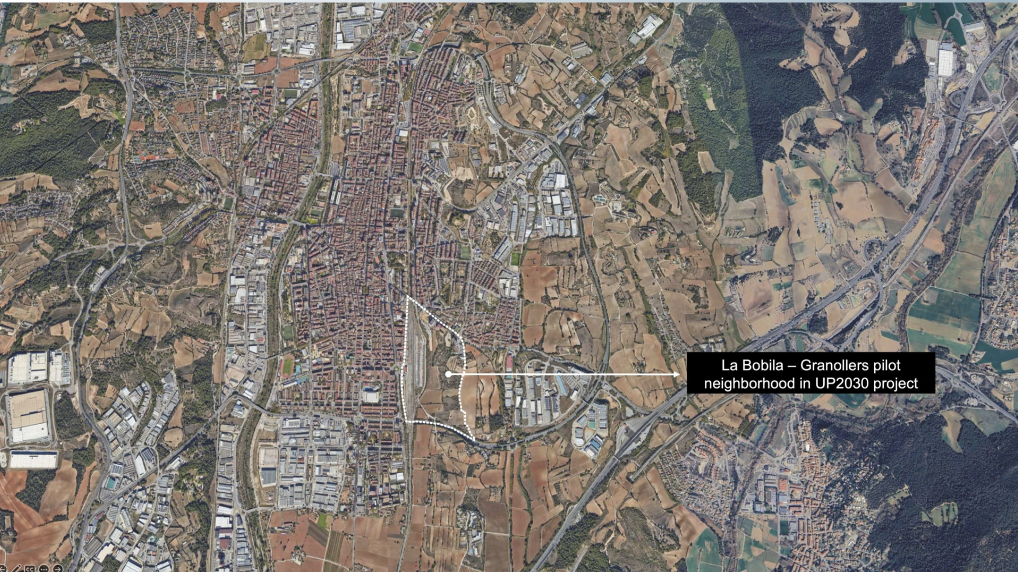
Developed in partnership with the UP2030 project, a Horizon Europe funding programme, City Scan integrates design, analysis and feedback into a single, dynamic planning workflow. It streamlines the conventional urban planning process, replacing linearity and intuition with data-driven transparency and real-time optimisation.
Origins of the Project
The City Scan Tool began in 2021 as a self-initiated project at TSPA, born from our desire to formalise internal workflows and better utilise digital tools in urban planning. Initially focused on identifying infrastructure gaps in cities, such as insufficient green space or mobility disconnects, we began developing workflows that could link datasets to actionable insights.
The project gained momentum when we were selected for UP2030, an EU-funded initiative aimed at guiding cities in their sociotechnical transitions toward climate neutrality. This collaboration enabled us to expand City Scan into a flexible, user-focused tool capable of supporting cities at all stages of their transformation journey.
How City Scan Works
Traditional urban planning often unfolds as a sequential process, moving from needs identification and contextual analysis to brainstorming, concept development and design iteration. While methodical, this approach can be slow, rigid, and disconnected from real-time feedback.
City Scan transforms this model into a non-linear, parametric workflow. By integrating key stages of the planning process into a single interface, City Scan allows users to:
- Instantly test and compare urban development scenarios.
- Generate 3D models and spatial maps (including streets, public space, and infrastructure layouts).
- Receive immediate analytical feedback on performance metrics such as accessibility, energy demand, and mobility efficiency.
- Consolidate data into a unified simulation that is continuously updatable.
The result is a faster, more adaptive planning process, one where urban design proposals can be created and refined in hours rather than weeks, with environmental and spatial outcomes visible from the outset.
Parametric Modelling for Urban Planning
At the core of City Scan lies parametric modelling, a design technique that allows geometries and systems to adjust based on a defined set of variables. In City Scan, these parameters are user-controlled, giving planners full visibility into the impacts of their design choices.
This makes the planning process more transparent, collaborative, and responsive. Users can instantly assess tradeoffs, optimize key outcomes, and adapt plans based on evolving policy goals or stakeholder feedback.
While parametric modelling is often used in architecture or building design, City Scan is one of the first tools to apply this methodology at the urban scale, combining both design and environmental simulation in real-time.
Design and Analytical Outputs
City Scan produces two main output types:
- Design Scenarios: These include three-dimensional spatial layouts and maps that visualize key urban elements, such as block structures, public spaces, mobility networks, and surface treatment.
- Analytical Outputs: These evaluate the spatial scenarios based on selected performance indicators, including accessibility metrics, land use density, energy performance, and mobility flows.
This dual output structure enables users to see not only what a plan looks like, but also how it performs, a critical advancement for data-informed and sustainability-oriented planning.
Stakeholder Engagement in Real Time
Because City Scan performs real-time simulations, it also enhances participatory planning by making stakeholder engagement more interactive and visual. Whether working with citizens, policymakers, or private developers, City Scan allows users to quickly generate and compare different design options, making tradeoffs tangible and conversations more grounded in evidence.
For instance, if a municipality wants to increase green space coverage in a specific neighbourhood, City Scan can show how this goal might affect other indicators such as housing density, parking allocation, or walkability.
Planning for Climate-Resilient Cities
City Scan is more than a digital tool. It’s a planning methodology that responds to the urgency of climate action and the complexity of 21st-century cities.
By embedding environmental feedback and socio-spatial indicators directly into the design process, City Scan empowers urban planners to accelerate timelines and support climate-neutral transitions across the world.
As cities work toward ambitious carbon neutrality goals, tools like City Scan can play a critical role in aligning local action with global sustainability targets, creating cities that are not just smarter, but also fairer and more resilient.
Context: This story draft was completed during my time as an intern with Berlin-based urban planning and design company, TSPA. Click below to view the official publication.

